Day01
Antananarivo
Expedition 01 · Northern Madagascar
12 days from Diego-Suarez to Nosy Be, with an optional scientific extension up to 15 days.
Cross northern Madagascar like a geoscientist. Discover how volcanic processes, rock erosion, limestone dissolution, the workings of watersheds and marine dynamics have shaped the landscapes, the biodiversity and human activity.
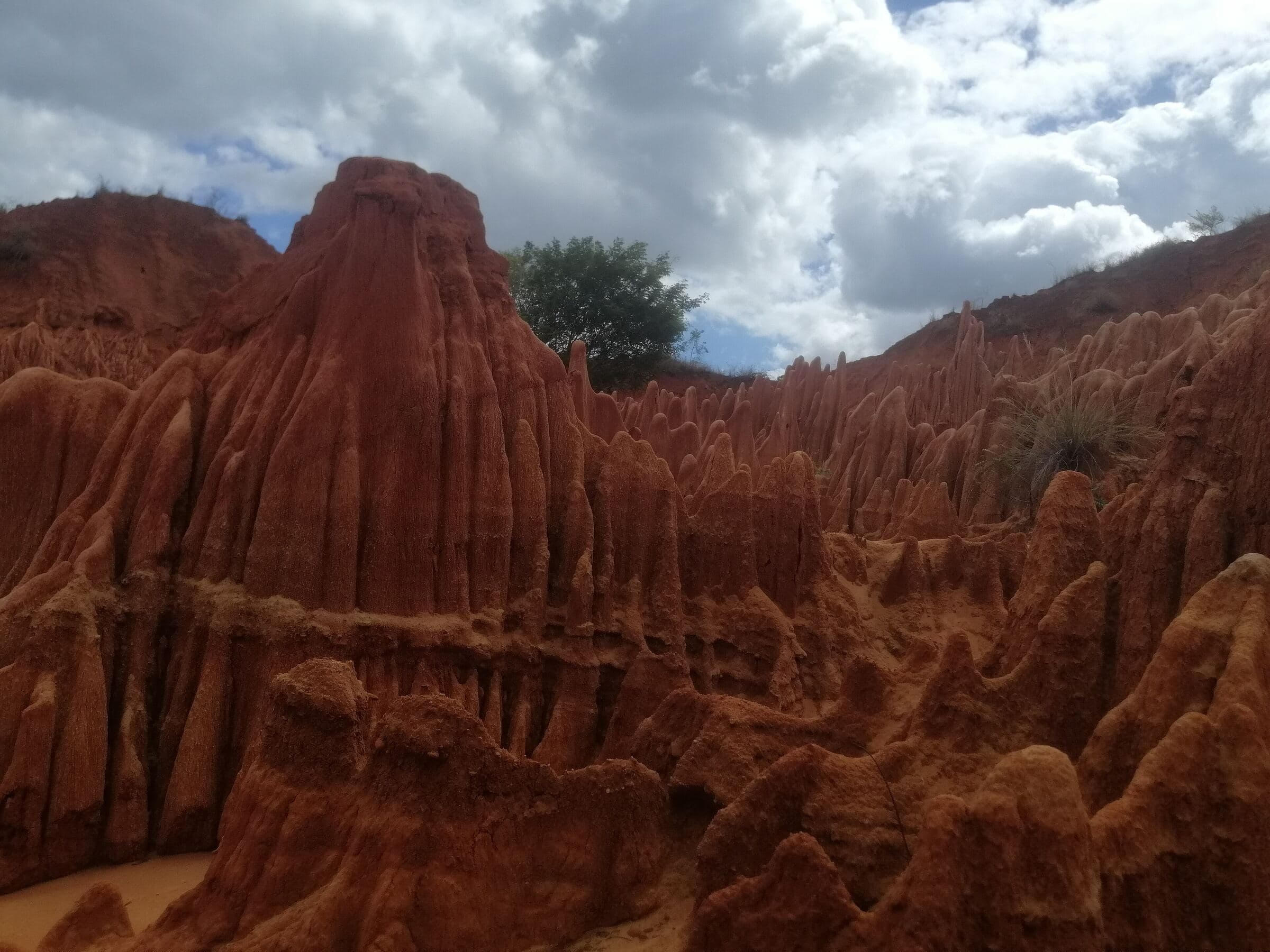
From the Diego-Suarez coastline to the volcanic uplands of Amber Mountain, from the Red Tsingy to the Ankarana karst, then from the Sambirano valley to the islands of Nosy Be, this expedition invites you to see Madagascar differently.
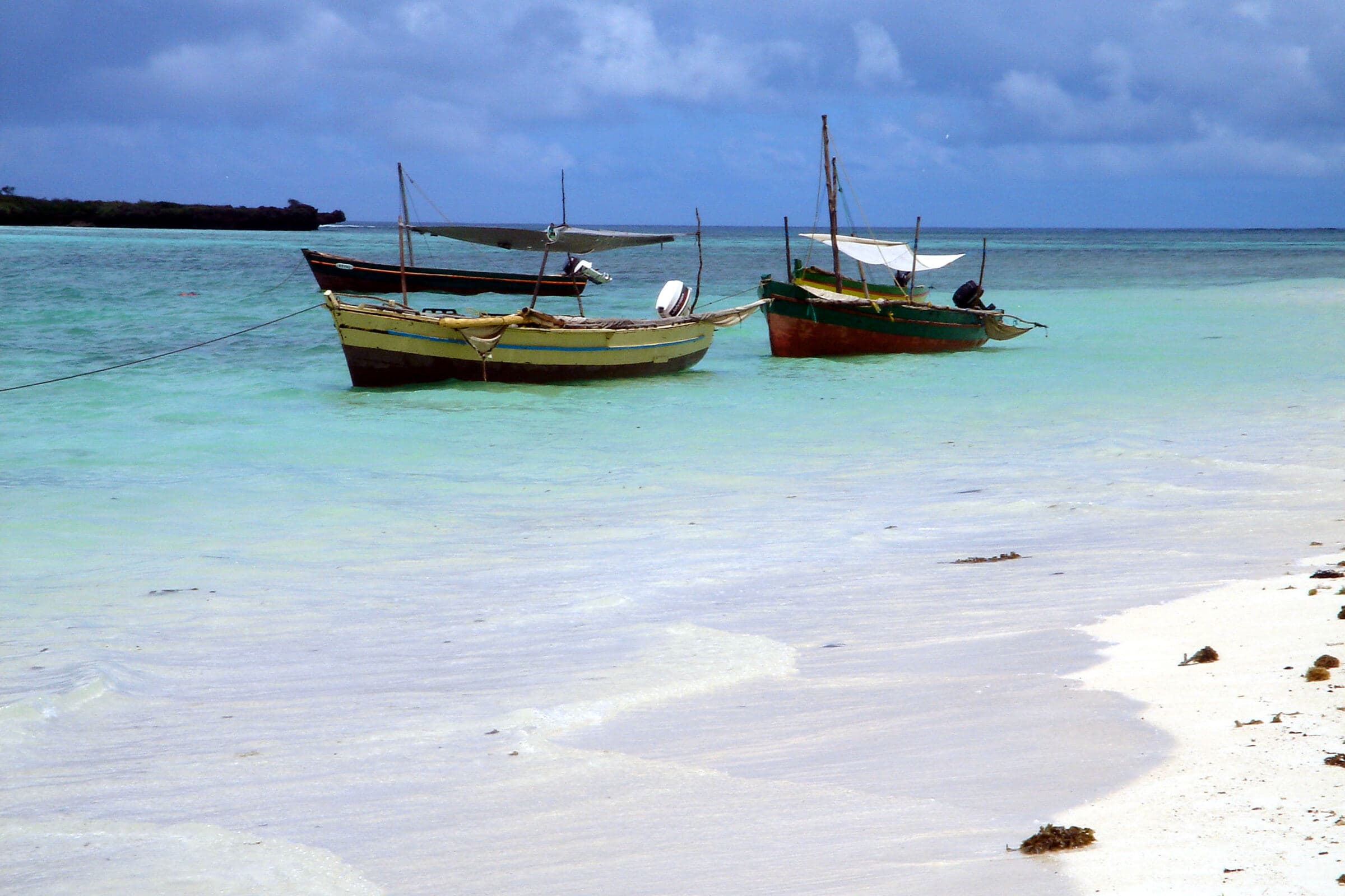
Capes, bays, beaches and sediment dynamics.
Volcanism, water, forest and relief gradients.
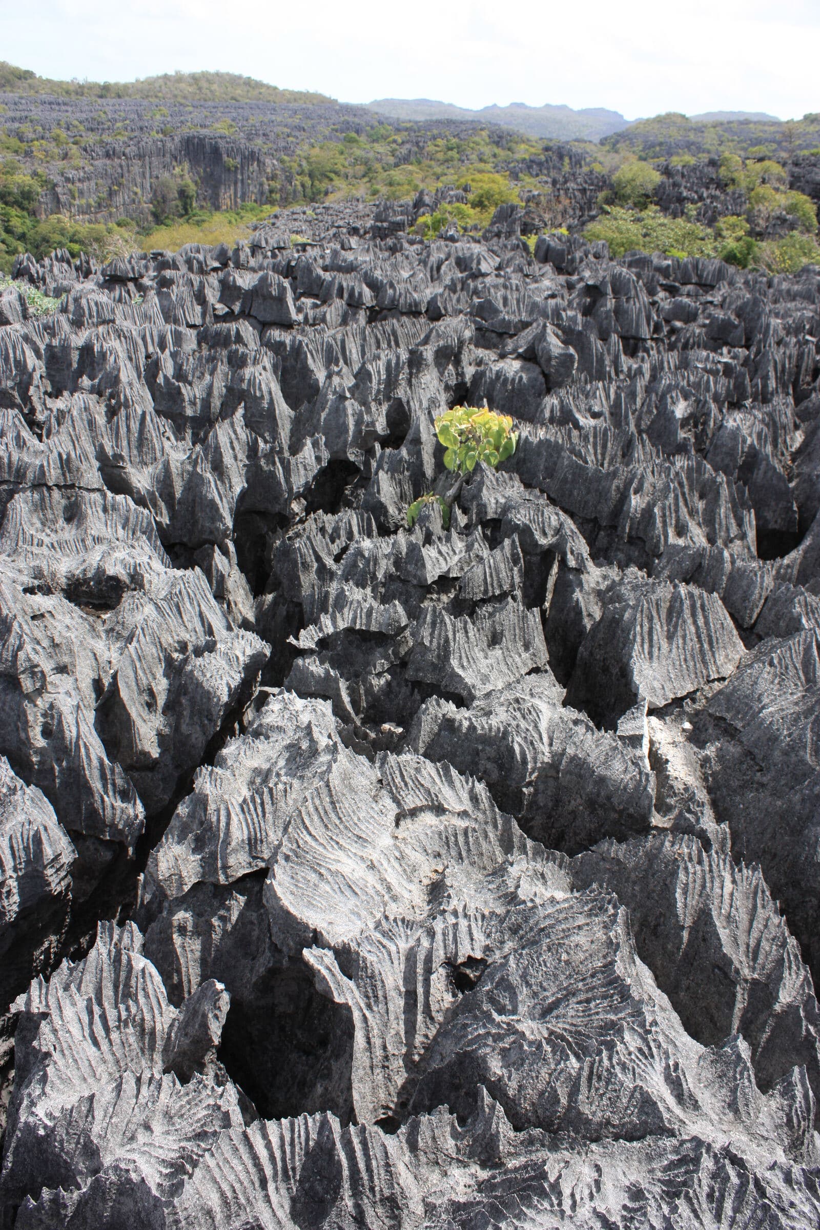
Erosion of weathered material at the Red Tsingy and limestone dissolution at Ankarana.
River, alluvium, soils, farming and cocoa.
Island geology, volcanic landforms and reef environments.
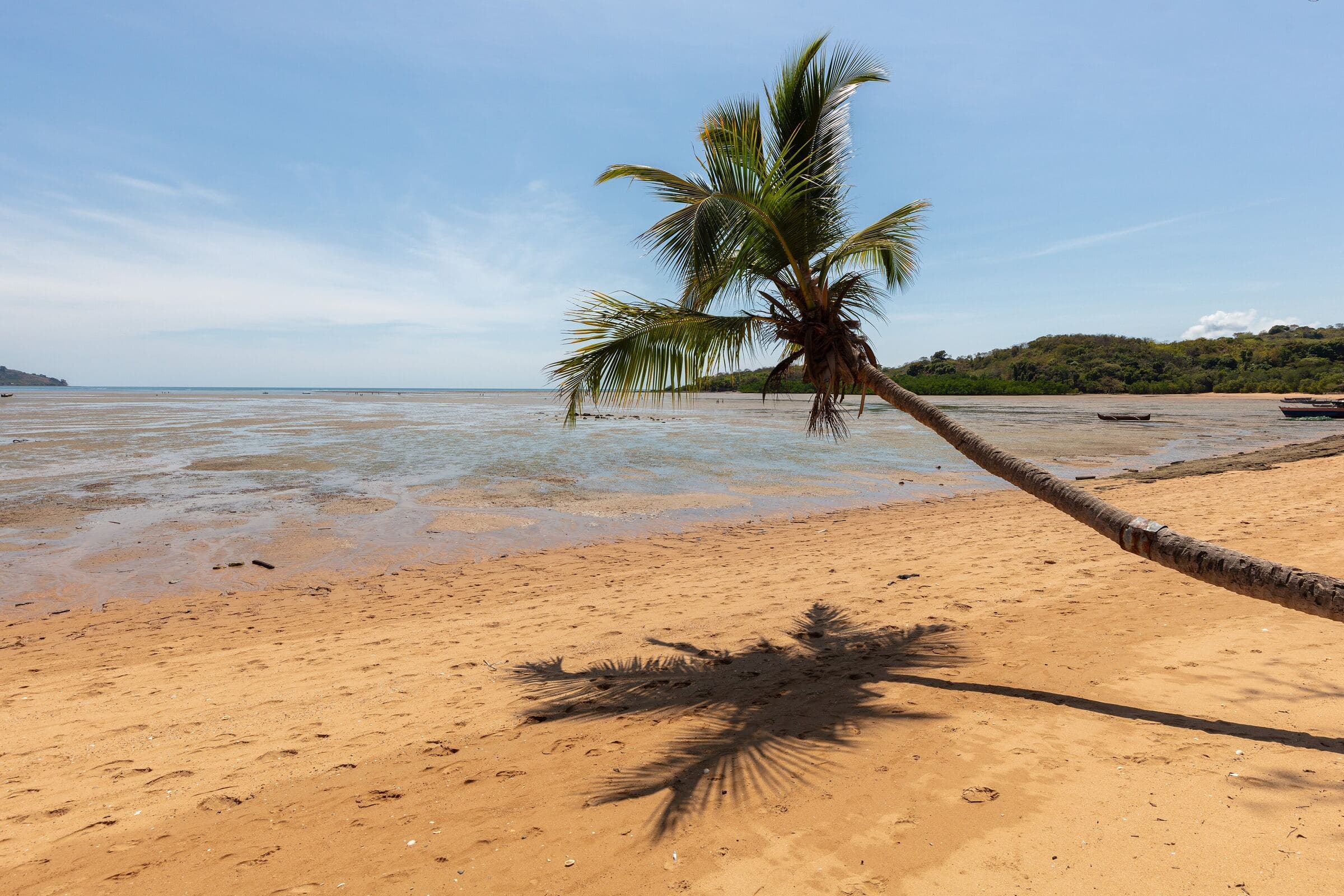
Each day pairs a destination with an observation theme. Activities, physical level, logistics and fallback options are set out in the program sent on request.
Day 1Antananarivo
Day 1/Antananarivo
Click a stop to jump to its day.
Day01
Antananarivo
Day02
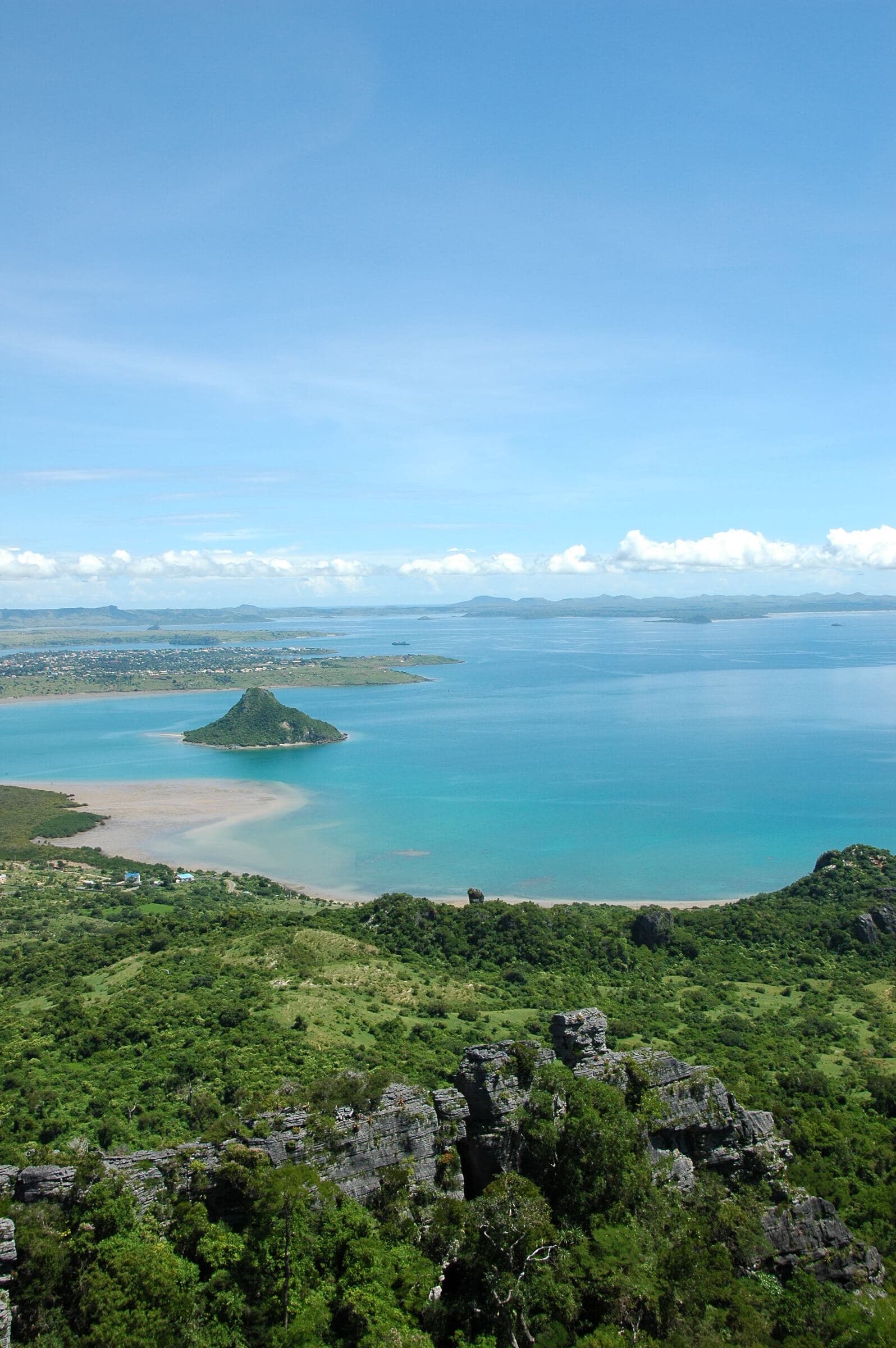
Antsiranana, Three Bays
Antsiranana bay and Nosy Lonjo
Day03
Emerald Sea
Emerald Sea lagoon
Day04
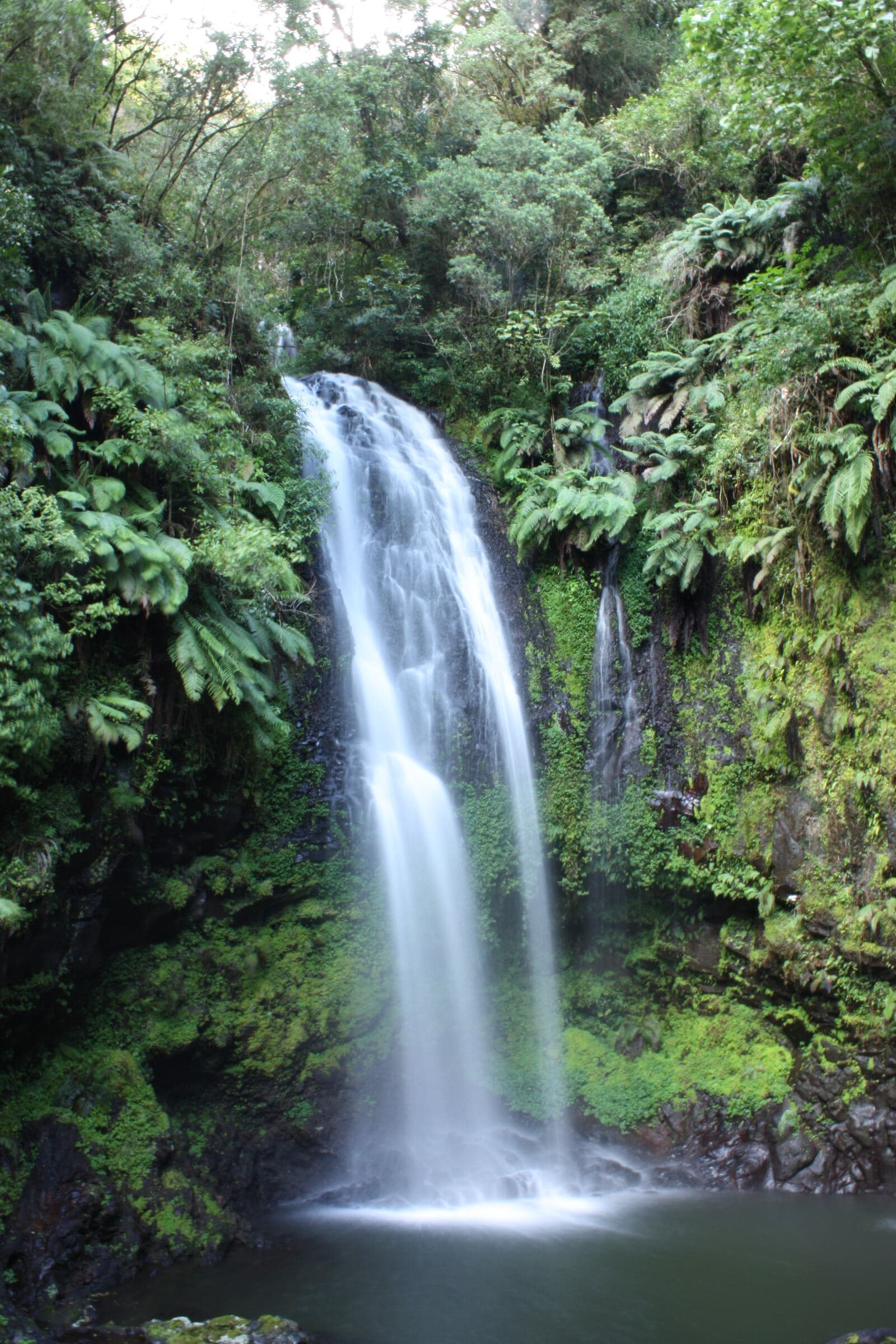
Amber Mountain
Waterfall, Amber Mountain
Day05
Red Tsingy → Ankarana
Red Tsingy of Irodo
Day06
Ankarana → Ambanja
Limestone blades, Ankarana
Day07
Sambirano, Ambanja
Day08
Ankify → Nosy Be
Day09
Nosy Tanikely
Day10
Nosy Be, Mount Passot
Ampasipohy beach, Nosy Be
Day11
Nosy Be → Antananarivo
Day12
Antananarivo
Optional extension, three extra days
The Ambilobe–Betsiaka extension fits in after Ankarana and before the Sambirano valley. It leads from the north-west of the Ambilobe area to Betsiaka in the east, and requires reorganising overnight stays and transfers.
| Added day | Area | Scientific content |
|---|---|---|
| B1 | Lower Mahavavy, western mangroves River hydrology, sedimentation, farmland plain and accessible mangroves | River hydrology, sedimentation, farmland plain and accessible mangroves |
| B2 | East of Ambilobe, Betsiaka Basement and cover, tectonic structures and the setting of gold deposits | Basement and cover, tectonic structures and the setting of gold deposits |
| B3 | Betsiaka, authorised sites Primary, eluvial and alluvial gold; artisanal mining and the environment | Primary, eluvial and alluvial gold; artisanal mining and the environment |
Deposits and mining sites are not guaranteed visits. Sites will be chosen after reconnaissance, agreement from rights holders and checks on access and safety conditions.
Geoscience is the main thread; four complementary fields help explain the role of water, substrates, living things and societies in shaping territories.
Lead field
Explore the history of rocks, landforms, sedimentary basins and mineralisation. Palaeontology may remain document-based.
In the North: Volcanoes, tsingy, gold.
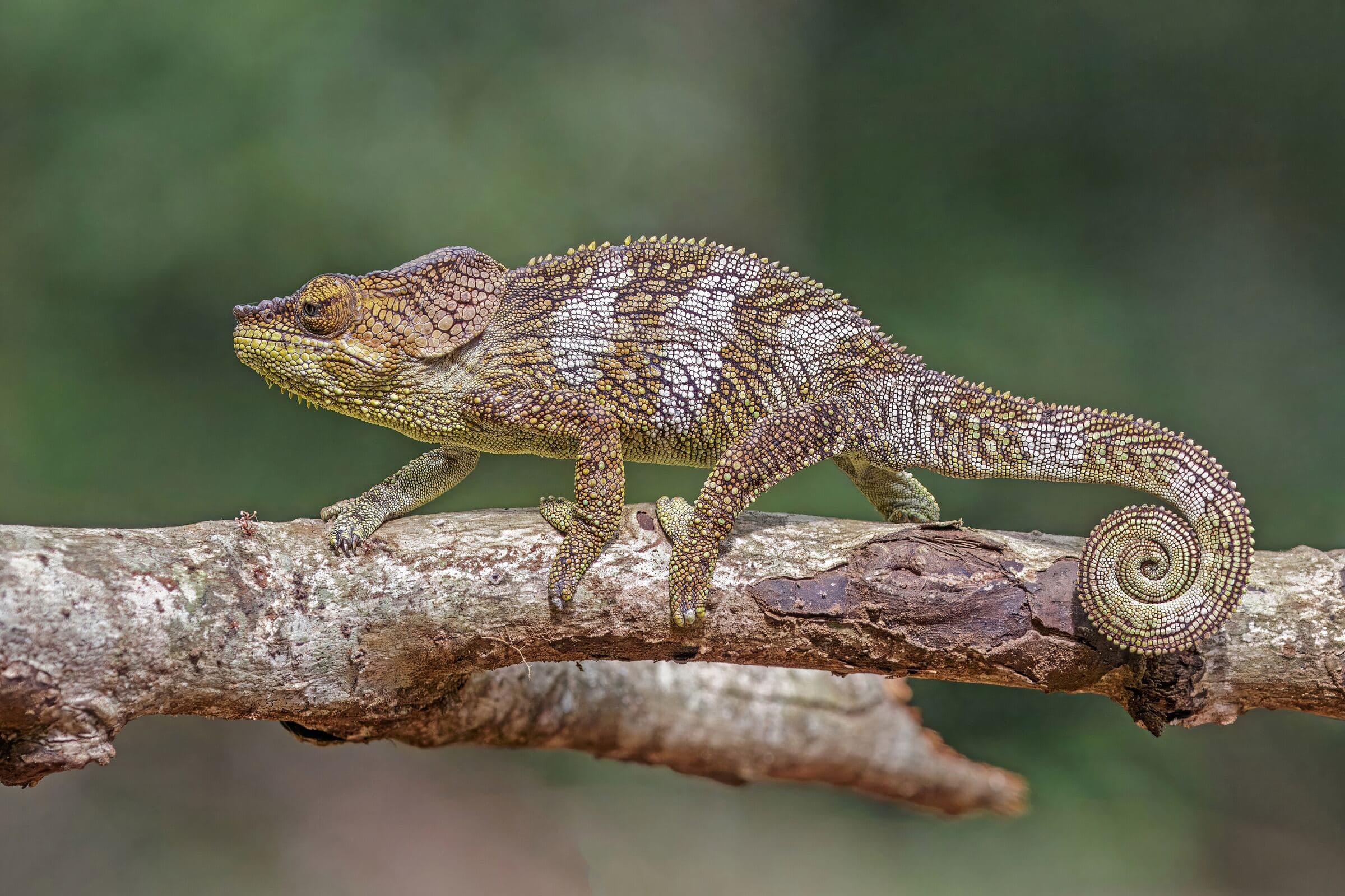
Observe adaptations, endemic species, rainforests and dry forests, and conservation.
In the North: Amber Mountain.
Read lagoons, tides, reefs, beaches, mangroves and coastal environments.
In the North: Emerald Sea, Nosy Tanikely.
Understand local knowledge, trades, resource use and value chains.
In the North: Fishing, Ambilobe, cocoa.
Explore the links between water, soils, crops, agricultural supply chains and climate.
In the North: Sambirano, ylang-ylang.
No sampling is planned in the standard educational offer.
The final offer sets out, for your group:
Prices, flights and capacity are set in the quote.
Two separate requests depending on the length you choose: the 12-day northern program, or the 15-day northern extension.
Would you like to join one of our expeditions, organise a university trip or explore a field program tailored to your group? Tell us what you need: MDCBridge can prepare a proposal based on your goals, the format you want and the services that have been confirmed.
Indicative programs: activities, access, transport, safety and support are adapted to field conditions and confirmed in the final offer.