
Day01
Antananarivo
Expedition 02 · Deep South of Madagascar
A 23-day geoscientific and territorial crossing.
Discover Madagascar on a great scientific crossing that links the Highlands, the eastern forests, the sandstone massifs, the sedimentary basins, the limestone plateaus and the coastal landscapes of the South.
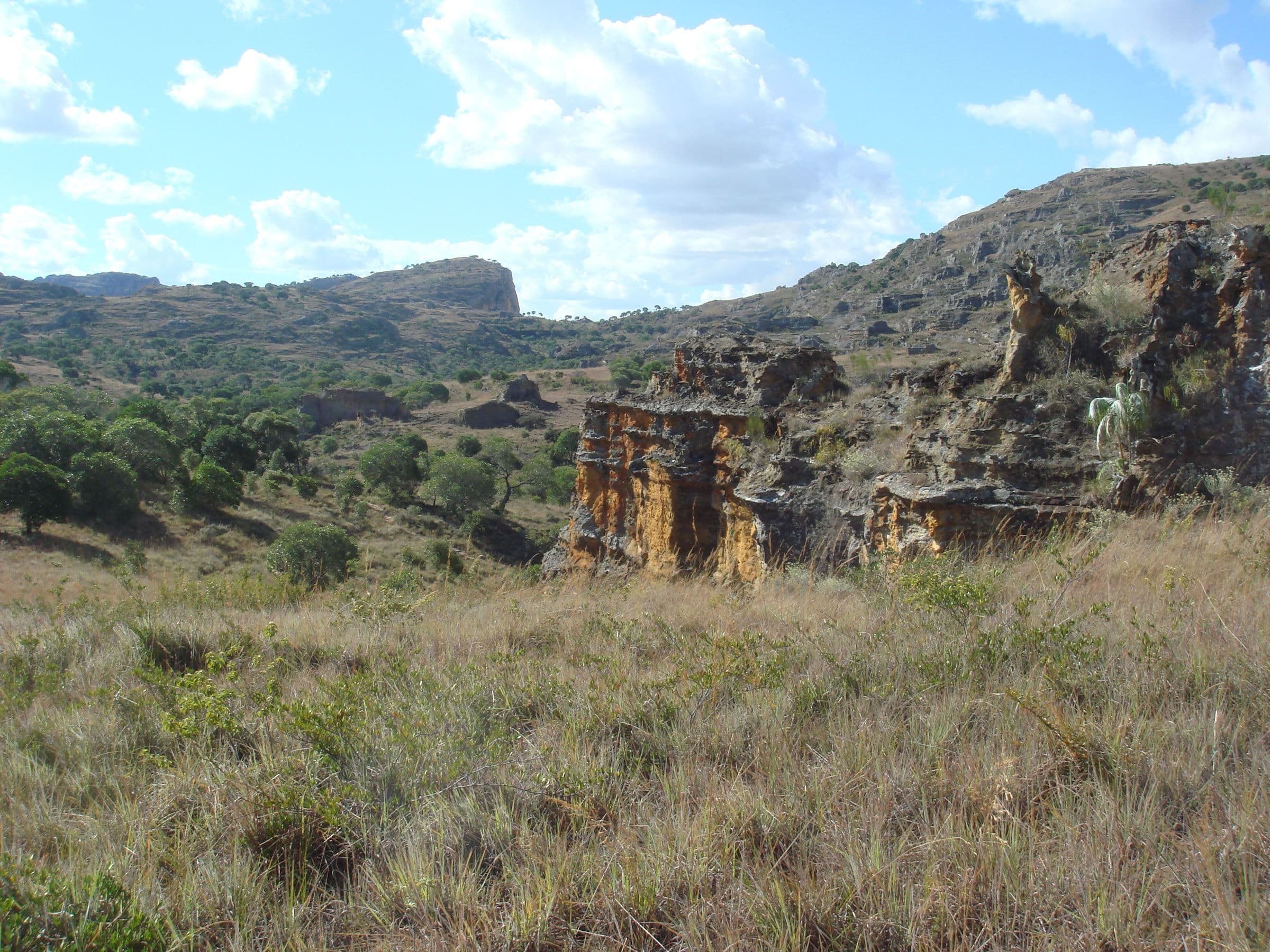
This expedition follows one common thread: understanding how geological history and the availability of water shape ecosystems, human activities, resources and ways of life. Geology is the leading discipline, enriched by four other scientific perspectives.
Precambrian basement, RN2 landscapes, water and rainforest.
Antsirabe, Ankaratra, granitoids, farming and local produce.
Granites, the structural setting towards Ihosy and sedimentary sandstones.
Gemstones, basin architecture and petroleum geology on documents.
Coastal ecosystems, reefs and maritime societies.
Limestones, arid soils, hydrogeology, dunes and cliffs.
Metamorphic terrains, Berenty, landforms and the Fort-Dauphin coast.
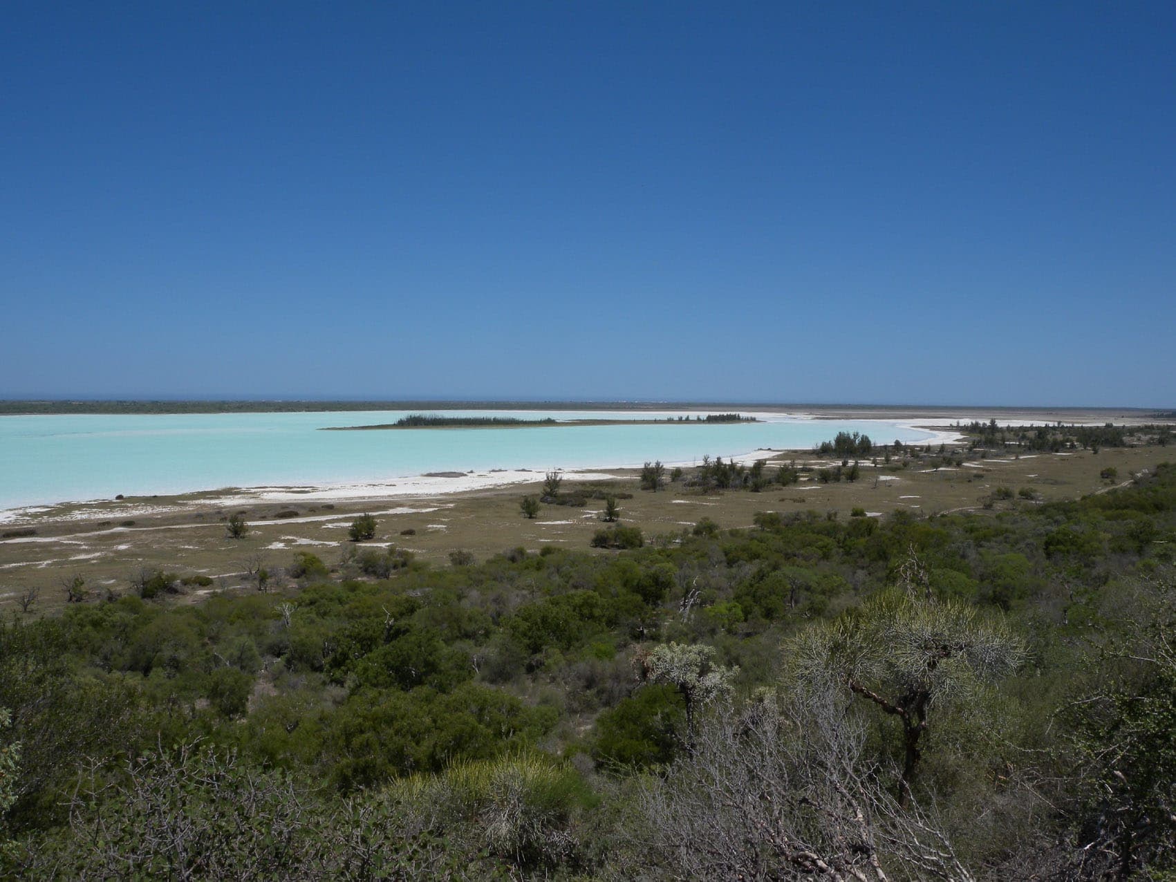

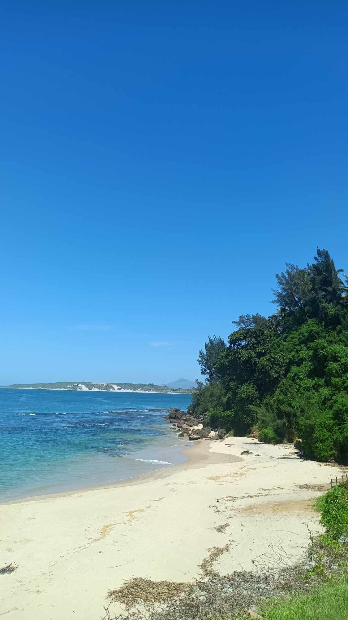
Days are grouped by area, with the main theme of the program. Activities, fitness level, logistics and fallback options are detailed in the program sent on request.
Day 1Antananarivo
Day 1/Antananarivo
Click a stop to jump to its day.
Day01
Antananarivo

Days2–3
Andasibe
Indri, Andasibe
Days4–5
Antsirabe, Fianarantsoa
Day06
Anja and Ihorombe
Day07
Isalo
Isalo National Park
Day08
Ilakaka, Sakaraha, Toliara
Days9–10
Anakao, Nosy Ve
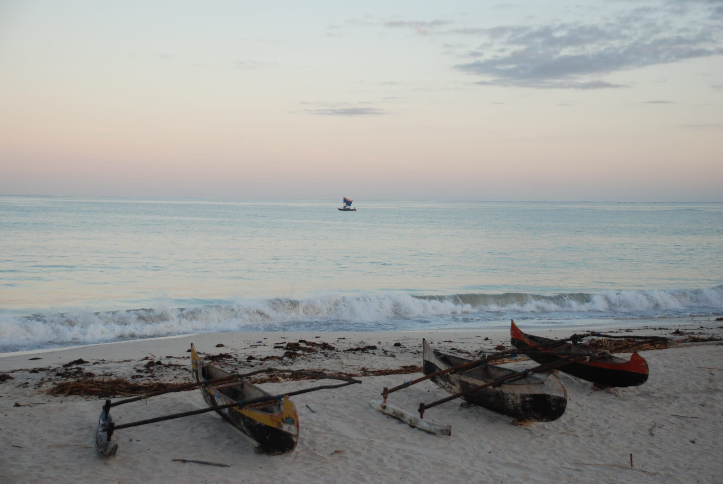
Days11–13
Ambola, Itampolo
Canoes at Itampolo
Days14–16
Lavanono, Cape Sainte-Marie
Days17–18
Berenty
Ring-tailed lemurs, Berenty
Days19–21
Fort-Dauphin, Anosy
Libanona coast, Fort-Dauphin
Days22–23
Back to Antananarivo
Read the ancient basement and the major regional structures; tell the visible landscape from the map interpretation.
Understand the Isalo sandstones, sedimentation and erosion landforms.
Study the South’s sedimentary basins, petroleum systems and resources on documents.
Compare wet, arid and marine environments along the crossing.
Link natural resources, economic activities and land use.
Sedimentary basins, stratigraphy, reservoir rocks, traps and regional hydrocarbon potential are explained on documents. The program includes no access to wells, concessions or oil installations.
Geology is the leading discipline; four other scientific perspectives shed light on the water, life, societies and farming of the South.
Lead field
Explore the history of rocks, landforms, sedimentary basins and mineralisation. Palaeontology may remain document-based.
In the Deep South: Basement, Isalo, sediments and gemstones.
Observe adaptations, endemic species, rainforests and dry forests, and conservation.
In the Deep South: Andasibe, Anja, Berenty.
Read lagoons, tides, reefs, beaches, mangroves and coastal environments.
In the Deep South: Anakao, Nosy Ve, Anosy.
Understand local knowledge, trades, resource use and value chains.
In the Deep South: Crafts, the Vezo, livestock, resources.
Explore the links between water, soils, crops, agricultural supply chains and climate.
In the Deep South: Highlands, soils and dryland farming.
No sampling is planned in the standard educational offer.
The Deep South has specific constraints, taken into account in the offer:
Prices and air transport to be confirmed in the quote.
Request the detailed 23-day program, or tell us about your group to organise a Deep South expedition.
Would you like to join one of our expeditions, organise a university trip or explore a field program tailored to your group? Tell us what you need: MDCBridge can prepare a proposal based on your goals, the format you want and the services that have been confirmed.
Indicative programs: activities, access, transport, safety and support are adapted to field conditions and confirmed in the final offer.