
Turn the journey into a research mission
For universities and research teams, the journey becomes a logistical backbone. Each territory can take 2 to 7 extra days, with objectives, supervision, protocols and deliverables, validated with scientific partners and the relevant authorities.
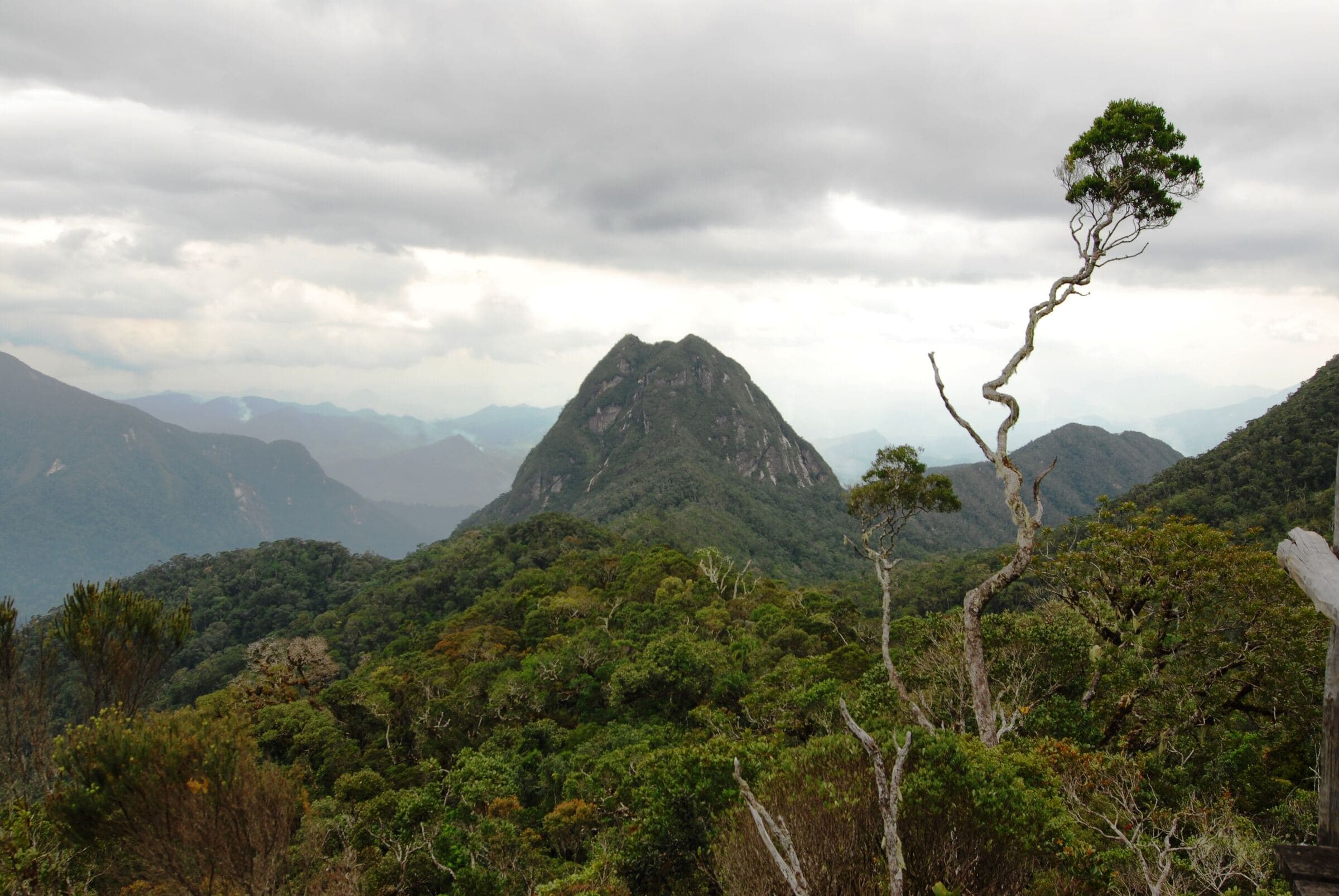
Field modules
| Module | Disciplines | Deliverables |
|---|---|---|
| M1Antsiranana and Amber Mountain | Volcanology, hydrogeology, geomorphology | Field map, geological cross-section, hydrogeological note |
| M2Ankarana | Karst science, speleology, hydrochemistry | Conceptual model of underground flow |
| M3Ambilobe and Betsiaka | Mining geology, alluvial sedimentology, governance | Simplified geo-economic atlas of the pilot site |
| M4Daraina and Bemarivo | Tectonics, metallogeny, GIS | GIS database, outcrop logs, hypothesis map |
| M5Vohémar | Geoarchaeology, archaeometry, heritage | Interdisciplinary research note and heritage interpretation proposal |
| M6Sambava and Andapa | Agroforestry, water, biodiversity | Comparative dataset and sustainability diagnostics |
| M7Marojejy and Anjanaharibe-Sud | Ecology, conservation, global change | Replicable protocol, field data, report to the site manager |
Mission formats
A
14 days
Intensive field school
One main theme and two secondary themes, 8 to 20 students, strong teaching component.
B
21 days
Interdisciplinary university mission
Three to four field-laboratory sites, comparable protocols, interim presentations.
C
30 days
Applied research program
Base camp, repeated measurement days, longitudinal data, institutional partnerships and a scientific deliverable.
D
7 to 10 days
Specialist expedition
A single scientific basin: Ankarana, Daraina-Bemarivo, Vohémar, SAVA or Ambilobe.
Tell us your disciplines and dates: we will build the mission outline with you.
Field engineering, from research question to final report
MDCBridge designs and delivers scientific experiences. We handle every step so you can focus on the field.
Scientific design
Central question, learning objectives, site selection and teaching progression.
Documentation
Maps, geological and ecological fact sheets, background reading, field notebook.
Logistics
Transport, accommodation, 4x4s, guides, safety, communications and buffer days.
Introductions
Institutions, protected areas, universities, local authorities, businesses and communities.
Permits
Site access, research, specialist photography, sampling and sample export where applicable.
Supervision
Mission leader, subject specialists, local guide, drivers, interpreter or field assistant.
Data management
File naming, georeferencing, backups, metadata and reporting back.
Outputs
Mission report, presentation, mini-atlas, scientific portfolio or a Madagascar-Canada cooperation note.
Included in an MDCBridge package
- Welcome and transfers
- 4x4s, fuel and drivers
- Selected accommodation
- Local guides and planned site fees
- Operational coordination and briefings
- Field notebook and daily logistical support
- Final presentation
Budgeted separately
- International flights and, unless stated, domestic flights
- Visas and insurance
- Specialist scientific equipment and laboratory analyses
- Paid permits, research or sampling permits
- Sample shipping
- Extra days due to weather or access
Pricing is modular: logistics base, scientific supervision, permits, equipment, field days and deliverables. The quote, in Canadian dollars or euros, is prepared once the program and scientific level are confirmed.
Let’s plan your crossing
Tell us who you are and what you want to understand. We will build the program, schedule and quote with you.
- contact@mdcbridge.mg
- Ground partner
- sifaka-voyages.com