
12 to 14 days
MDCBridge Bemarivo & Karst Expedition
The geoscience program: from the young volcanism of Amber Mountain and the Jurassic karst of Ankarana to the Neoproterozoic Bemarivo arc and the materials of Vohémar. More demanding fieldwork, in a small group.
- Duration
- 12 to 14 days
- Who it’s for
- Geoscience enthusiasts and professionals
- Group
- Small group
- Languages
- French and English
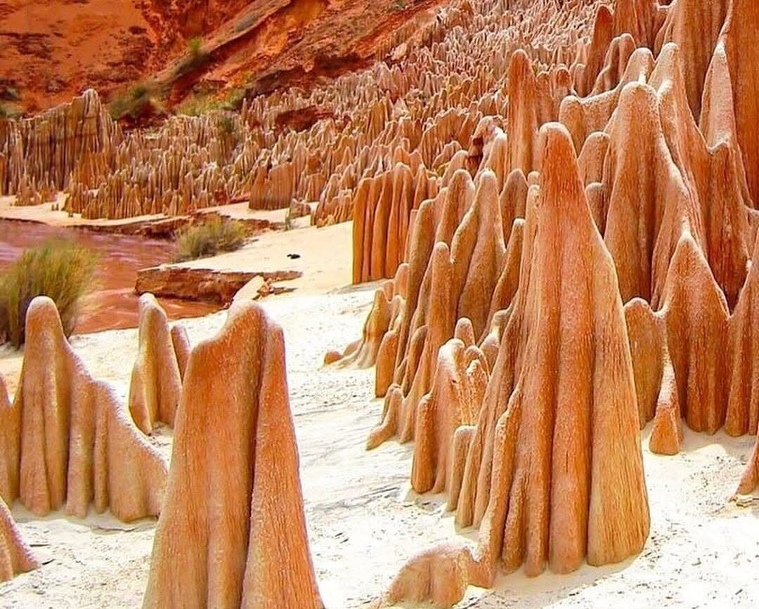
What you will study
- Volcanology and hydrogeology
- Karst science and underground hydrology
- Mining geology and placers
- Bemarivo tectonics and metallogeny
- Geoarchaeology and material provenance
Program sequences
Sequences taken from the signature journey. The final program is built with your group according to season, access and permits.
See the full day-by-day itineraryDay 4
Amber Mountain
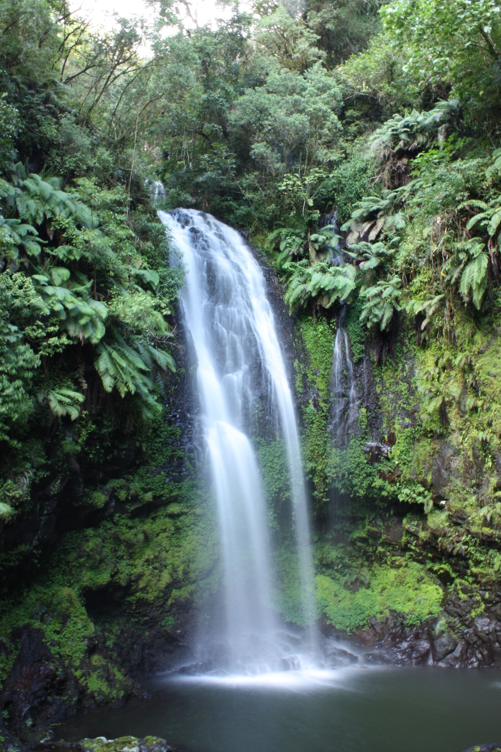
Volcanism, water and rainforest
A day in Amber Mountain National Park with a local guide. Crater lakes, waterfalls, volcanic relief and rainforest become an outdoor classroom.
Day 6
Ankarana
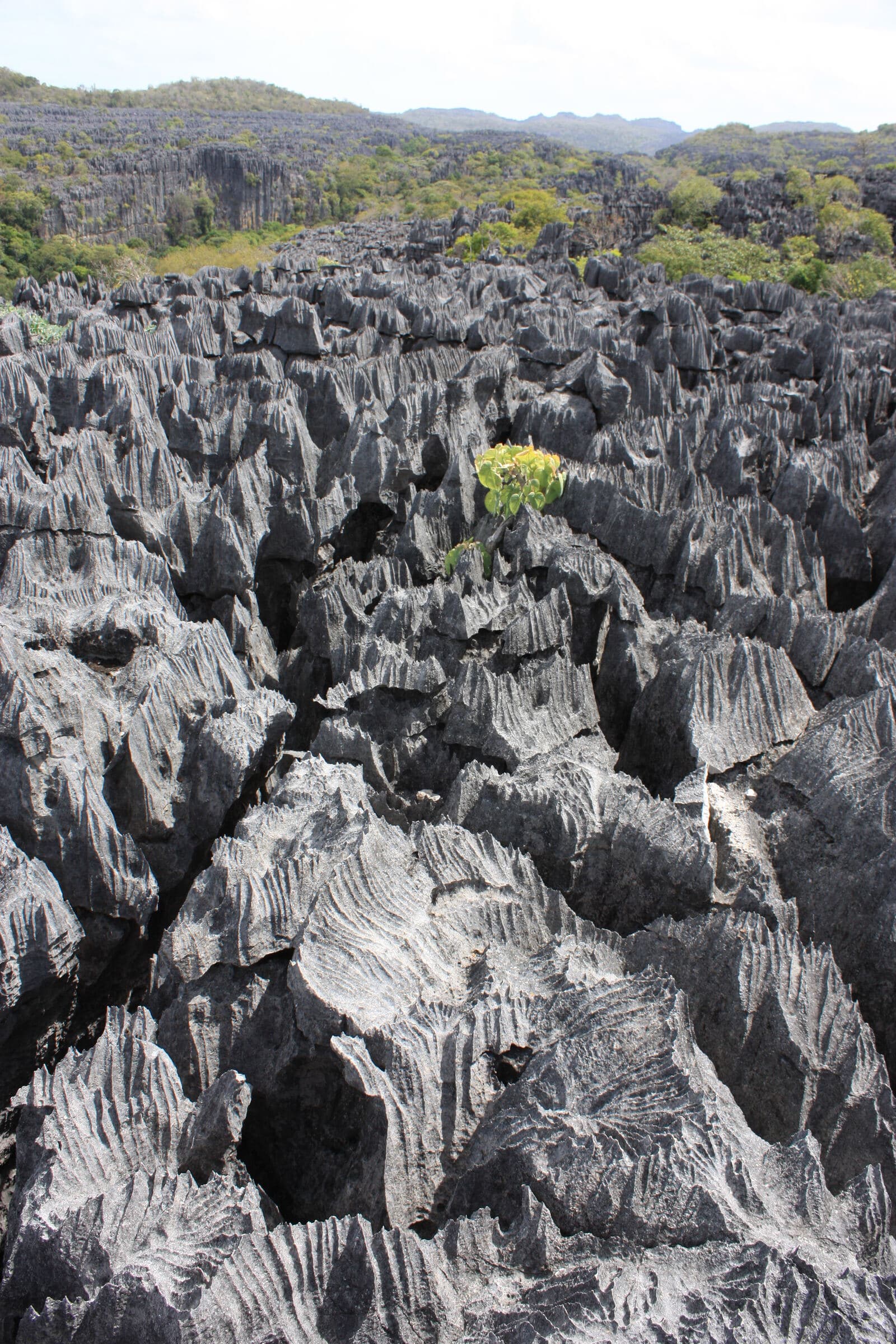
Karst, caves and underground hydrology
Guided exploration of the Ankarana Special Reserve: tsingy, canyons, sinks, caves and dry forest.
Day 7
Ambilobe, Betsiaka and Babano
Mineral resources, territory and value chains
Into the Ambilobe pilot area: gold geology and artisanal supply chains, in compliance with permits and safety rules.
Day 9
Ambilobe – Daraina via the RN5A
New domain, new landscape
The road becomes a scientific transect through changes in relief, vegetation and land use.
Day 11
Daraina, Bemarivo Domain
A Neoproterozoic arc and its metallogeny
A geoscience day around Daraina, outside restricted zones and under land, mining and environmental permits.
Day 12
Vohémar / Iharana
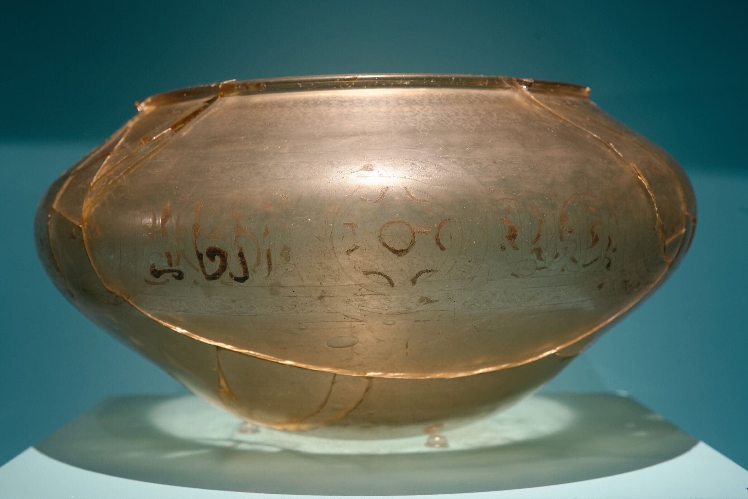
Geology, coastline and Rasikajy heritage
Reading the coastline, the port and the geological setting, followed by a heritage and scientific archaeology sequence.
Related research modules
M1
Antsiranana and Amber Mountain
Volcanology, hydrogeology, geomorphology
Field map, geological cross-section, hydrogeological note
M2
Ankarana
Karst science, speleology, hydrochemistry
Conceptual model of underground flow
M3
Ambilobe and Betsiaka
Mining geology, alluvial sedimentology, governance
Simplified geo-economic atlas of the pilot site
M4
Daraina and Bemarivo
Tectonics, metallogeny, GIS
GIS database, outcrop logs, hypothesis map
M5
Vohémar
Geoarchaeology, archaeometry, heritage
Interdisciplinary research note and heritage interpretation proposal
Possible mission formats
D7 to 10 days
Specialist expedition
A single scientific basin: Ankarana, Daraina-Bemarivo, Vohémar, SAVA or Ambilobe.
Let’s plan your crossing
Tell us who you are and what you want to understand. We will build the program, schedule and quote with you.
- contact@mdcbridge.mg
- Ground partner
- sifaka-voyages.com